Our services

3D Modeling & B I M

  • PP1 Optimizovano
  • Kula 1 Optimizovano
  • AugmentedReality 001 1
  • Staker Optimizovano
  • 3D MODELING BIM 03R
  • Serbian Community Centre 2
  • 3D MODELING BIM 08

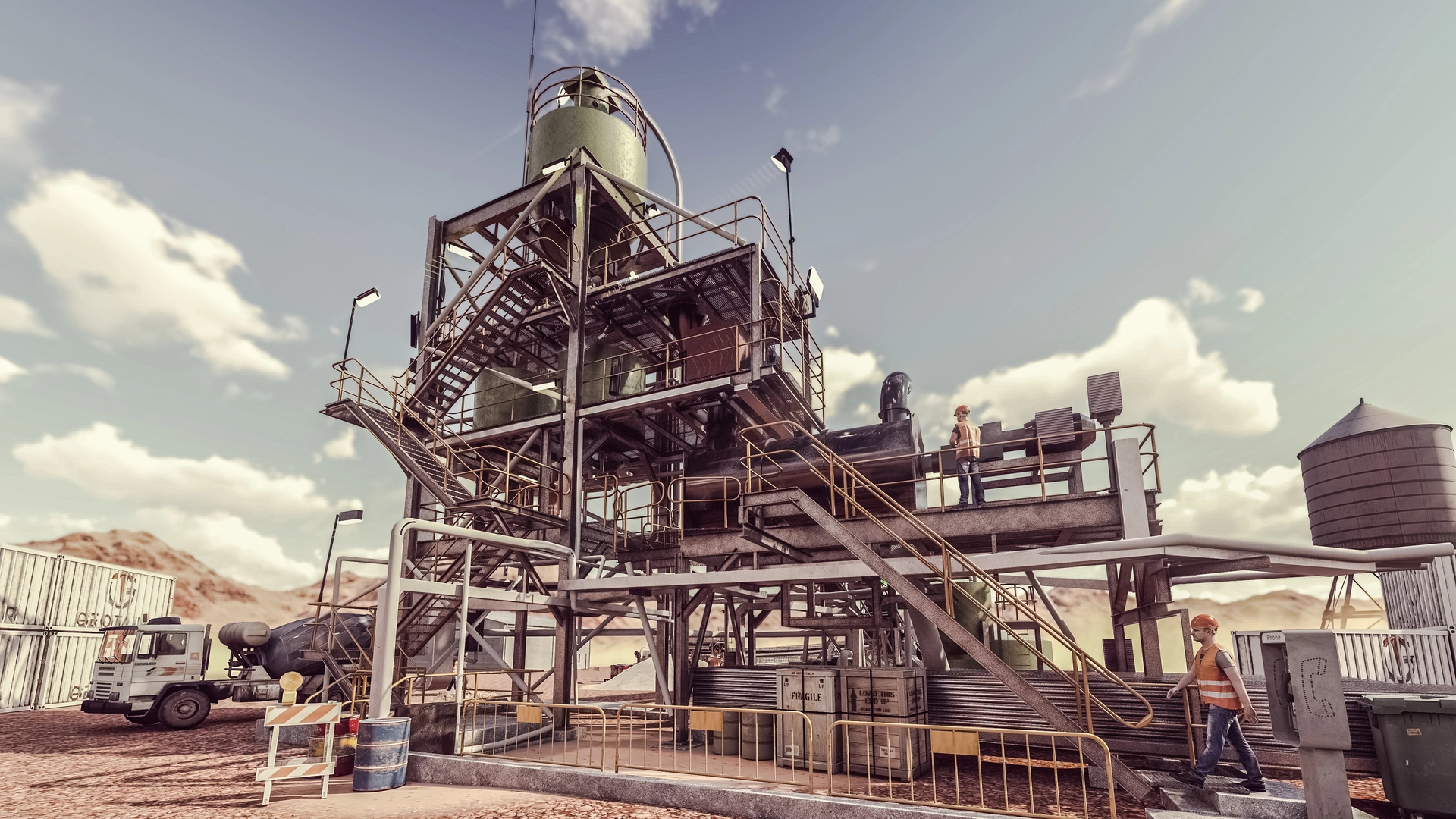
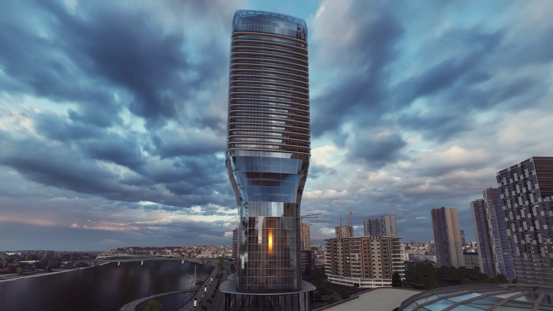
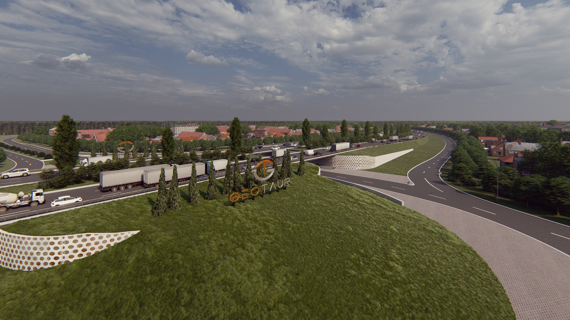
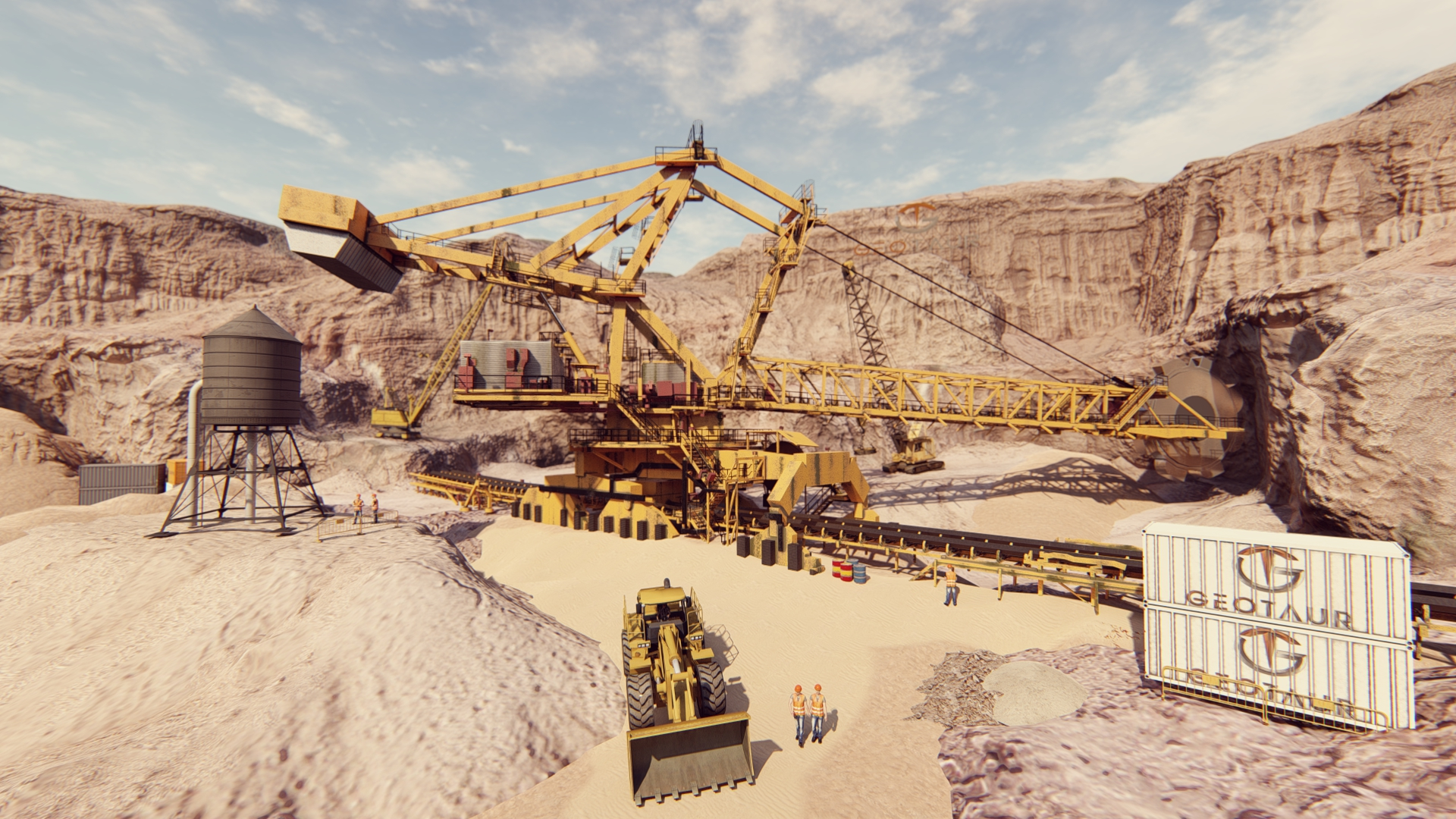
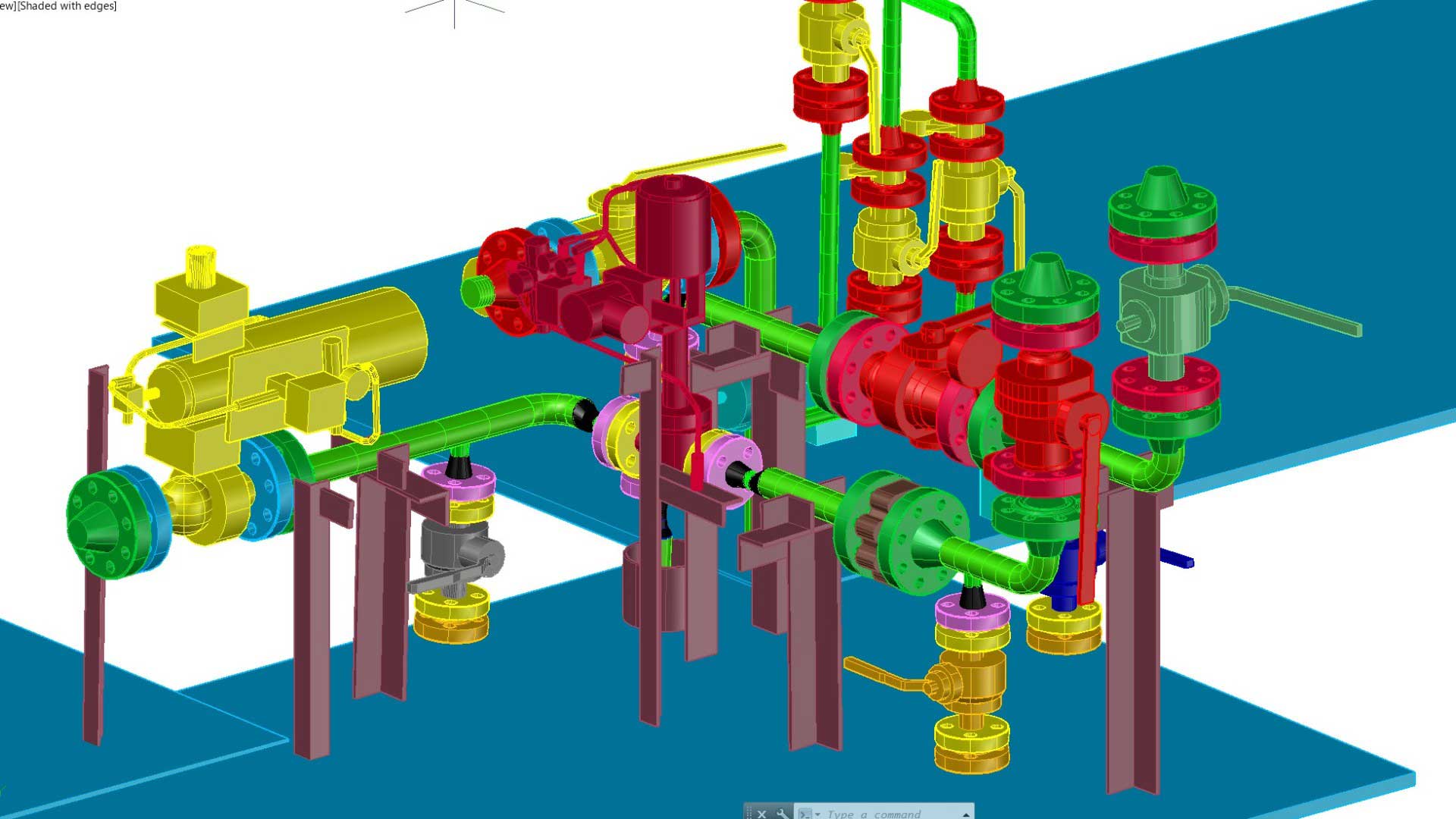
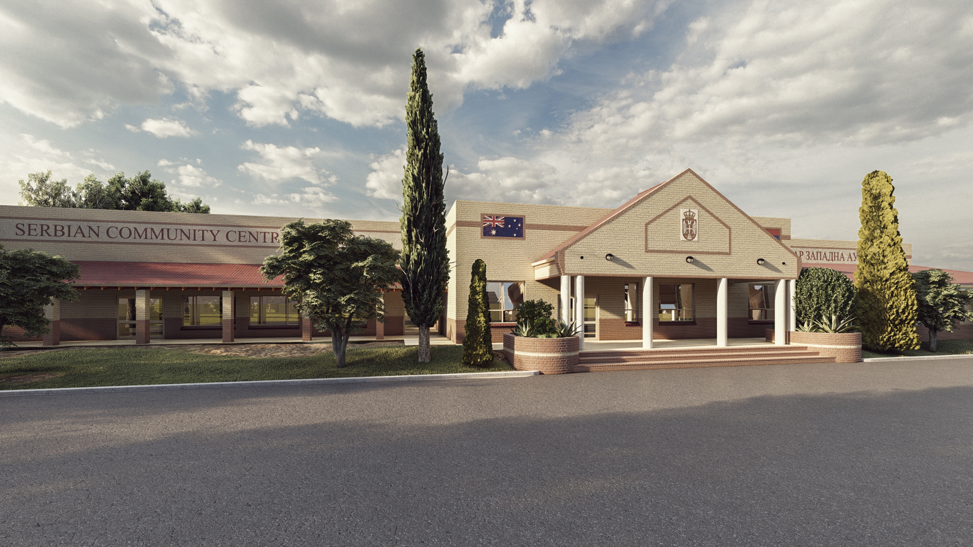
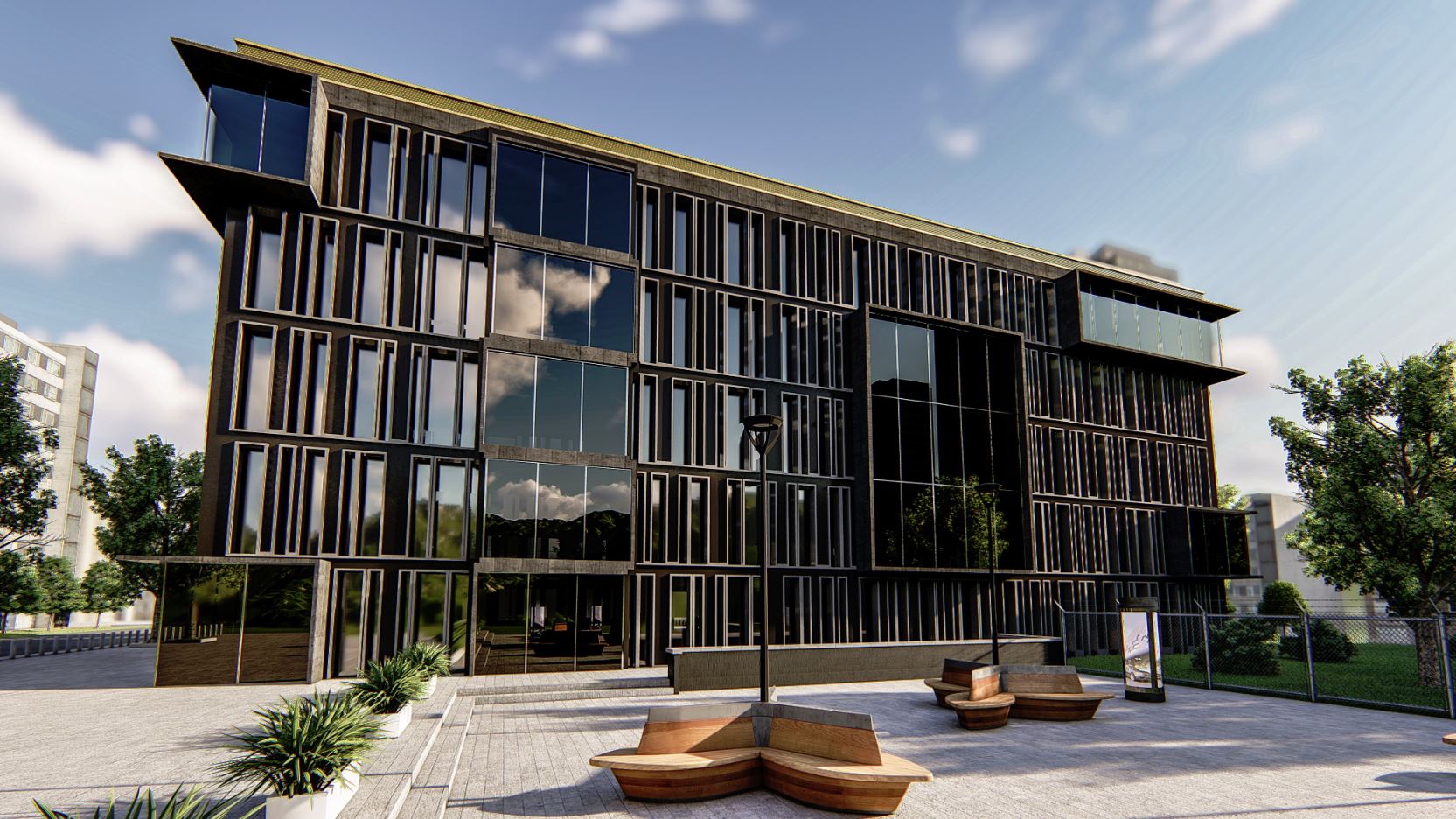
At GEOTAUR, we utilize diverse software solutions to create intelligent BIM 3D models, ranging from LOD 100 to LOD 400.

Our comprehensive 3D Modeling & BIM services include:

  • Conversion of 2D Drawings to 3D Models & BIM: Transforming 2D plans into dynamic 3D models for enhanced visualization and coordination.
  • 3D BIM Services for As-Built Environments: Accurate representation of existing structures and spaces for renovation or expansion projects.
  • Clash Detection: Identifying and resolving conflicts or clashes in your project’s design to prevent costly errors.

  • Point Cloud to BIM: Converting laser scanning data into detailed BIM models for precise spatial analysis.

  • Structure Modeling: Creating detailed 3D models of structures for engineering and construction purposes.
  • Plant Modeling: Developing comprehensive 3D models of plant layouts for industrial applications.

  • Building Modeling: Crafting detailed and accurate 3D representations of buildings for architectural and construction needs.

Whether your project involves architecture, civil engineering, landscaping, or large-scale development, BIM is the key to keeping your entire project team synchronized. It empowers architects and engineers to collaborate seamlessly, regardless of their geographic location.

Choose GEOTAUR for 3D Modeling & BIM services that streamline your project’s data management, enhance collaboration, and drive efficiency.

To learn more about our services, please click the “Download” button to access the Geotaur Capability Brochure.

Our services

Other services we offer

TERRESTRIAL LASER SCANNING DATA PROCESSING 03R
Terrestrial laser scanning & data processing

Laser scanning technology provides a fast and cost-effective method of getting more accurate and highly detailed 3D models of the required objects.

VERTICAL OBLIQUE PHOTOGRAMMETRY 02R 1024x576 1
Photogrammetry

Digital photogrammetry aims to establish the geometric relationship between an object and a digital image, deriving essential spatial data exclusively from the image itself.

LAND SURVEYING 01R

Land Surveying

Our expertise ensures precise data acquisition for various project needs, delivering actionable insights and accurate results.

Need some help?

We enjoy professsional challenges and we are confident that we’ll find the best solution for our clients.